Land Use Opportunities

Whitiwhiti Ora

Developing a holistic decision-making framework for evaluating land use opportunities.

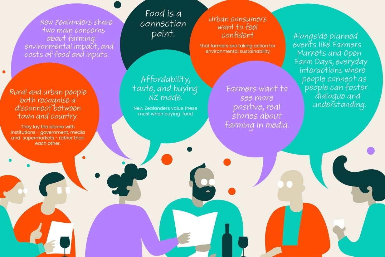
Sketch by Yasmine El Orfi

Project Details Ngā taipitopito

Project Status:
Active
Challenge funding:
$9,000,000
Research duration:
May 2020 – December 2023

Collaborators Ngā haumi

AgResearch | DairyNZ | Deep South Challenge | Land Water People | Manaaki Whenua Landcare Research | NIWA | Plant & Food Research

You are here: Home / Projects / ­ Land Use Opportunities

What are we doing?E aha ana mātou?

Land Use Opportunities: Whitiwhiti Ora will help land stewards assess diverse land use opportunities and make decisions with confidence that both the whenua and its people will prosper.

To become better land stewards, we need to bring the right information together so we can make smarter decisions about our land use. To improve the vitality of te Taiao, we will embrace ancestral knowledge about listening to the land, and integrate this knowledge with technology and science.

Some excellent knowledge, data and tools are available to help make decisions about land use, but there are also some big gaps. Our research will bring together biophysical, cultural, social and economic information to help fill some of these gaps.

The vision for this research is to identify a much greater range of suitable land opportunities and a greater diversity of benefits for New Zealand.

How can the research be used? Ka pēhea e whai take ai te rangahau?

  • Researchers will identify and analyse a much greater range of food and fibre than we currently grow. This research is needed because some land use change in New Zealand will be necessary to respond to our changing climate and policy.
  • The aim of this research is to help land stewards prioritise the most suitable crop options for their land, by providing a holistic understanding of the benefits and consequences of the options.
  • The programme will identify the pressures faced by land, water and people: contaminants (nitrogen, phosphorus, e.coli, sediment), greenhouse gas emissions, adapting to a changing climate.
  • The programme will give the fullest possible picture of the benefits of diverse land options, by using a broader range of indicators and data sources than has been used by Western science previously. Research will include standard indicators, such as economic returns, soil type, climate and topology, and integrate broader measures of wellbeing. These may include: biodiversity, recreation (swimming, fishing), mahinga kai, resilience to change, health benefits, surrounding communities (eg schools), intergenerational benefits.
  • The research will develop a data “engine room” that would connect into a range of external interfaces, including the interface co-developed in Pohewa Pae Tawhiti.
  • This research builds on the work completed by the Land Use Suitability programme.

Participation & engagement Te hunga i whai wāhi mai

  • The research team will work with case study partners that represent specific catchments and regions. Relationships are being built with Te Arawa land entities, groups in the Wairoa catchment in the Hawke’s Bay, and a catchment dominated by dairy in the South Island.
  • This research programme will partner with agencies that already have farmer-facing decision-support tools (including risk assessment tools used by the banking sector) so that the information provided from this research has a conduit to a wider audience.

Research team Te hunga i whai wāhi mai

Programme Lead
Robyn Dynes
AgResearch
Project Manager
Paul Mudge
Manaaki Whenua Landcare Research
Te Ao Māori Lead
Nikki Harcourt
Manaaki Whenua
Implementation Lead
Tamara Mutu
AgResearch
Science Lead
Steve Thomas
Plant & Food Research
Science Lead
Anne-Gaelle Ausseil
Manaaki Whenua Landcare Research
Science Lead
Linda Lillburne
Manaaki Whenua Landcare Research
Science Lead
Warren King
AgResearch
Tony van der Weerden
AgResearch
Jing Guo
Manaaki Whenua Landcare Research
Edmar Teixeira
Plant & Food Research
Ton Snelder
Land Water People
Alvaro Romera
AgResearch
Diana Selbie
AgResearch
Mitchell Donovan
AgResearch
Rogerio Cichota
Plant and Food Research
Simon Harris
Land Water People
Kumar Vetharaniam
Plant & Food Research
Aleise Puketapu
Plant & Food Research
Edith Khaembah
Plant and Food Research
Graeme Doole
DairyNZ
Craig Depree
DairyNZ
Sandy Elliot
NIWA
Andrew Neverman
Manaaki Whenua Landcare Research
Melissa Robson-Williams
Manaaki Whenua Landcare Research
Brent Clothier
Plant & Food Research
Richard Muirhead
AgResearch
Helen Percy
AgResearch

Tools & resources Ngā utauta me ngā rauemi

Video

Digital Toolshed: Data Supermarket webinar

This webinar was held at 12:30pm on 31 May 2023. It explains how to use the Data Supermarket platform, which is accessible at landuseopportunities.nz The…
View Video
Interactive Tool

Data Supermarket

The Data Supermarket is a repository of data about the ingredients, food and fibre we can grow in New Zealand, now and in the future.…
View Interactive Tool
Journal Article

A new robust hybrid model based on support vector machine and firefly meta-heuristic algorithm to predict pistachio yields and select effective soil variables

Pistachio production is an economically important crop that grows in arid environments. To predict yield and sustainably manage the use of natural resources such as…
View Journal Article
Journal Article

Climate change impacts on erosion and suspended sediment loads in New Zealand

• Modelling climate change impacts on national erosion and sediment loads is challenging. • Framework for estimating future load contributions from predominant erosion sources presented…
View Journal Article
Journal Article

Land-use suitability is not an intrinsic property of a land parcel

Land-use choices should not be determined by potential productivity alone but should also account for environmental constraints and for land use elsewhere in the landscape.…
View Journal Article
Summary

Nutrient losses from global dairy production systems differ

The demand for dairy produce is growing alongside concerns about the impact of intensive dairying on water quality owing to nutrient loss. We found that…
View Summary

Academic outputs He whakaputanga ngaio

Technical Report

National contaminant mapping of soil losses from surficial erosion: an analysis of livestock grazing pressures on soil losses across NZ

For the first time, a national-scale soil loss model of New Zealand has captured both inherent landuse properties, alongside high-resolution calculations of livestock grazing densities…
View Technical Report
Technical Report

Challenges and Opportunities for New Zealand Agriculture under Climate Change (2022 update)

Future climate is likely to have a major impact on the primary sector, and has the potential to drive major shifts in land use as…
View Technical Report
Journal Article

Supporting the design of useful and relevant holistic frameworks for land use opportunity assessment for indigenous people

Choices about how to use land are critical to efforts to manage water quality in Aotearoa-New Zealand. Māori and non-Māori communities need decision-making frameworks that…
View Journal Article
Journal Article

Modelling soil loss from surface erosion at high-resolution to better understand sources and drivers across land uses and catchments: a national-scale assessment of NZ

Soil erosion is a significant challenge for agricultural regions, with cascading impacts to waterways, land productivity, soil carbon, and ecological health. We provide the first…
View Journal Article
Journal Article

Attribution of River Water-Quality Trends to Agricultural Land Use and Climate Variability in New Zealand

Trends at 1051 river monitoring sites across New Zealand incrementing annually for time windows of 10 and 20 years over the 28-year period ending 2017…
View Journal Article
Journal Article

Developing an indicator of productive potential to assess land use suitability in NZ

The Land Use Suitability (LUS) concept is composed of three indicators describing the inherent productive and economic potential of land parcels (productive potential), the contribution…
View Journal Article

In the media Mai i te ao pāpaho

Te Ao Māori, 22 June 2022
“Harcourt and Shaun Awatere developed a Māori land use tool with land trusts and incorporations, which she said helped them to make decisions about alternative land use and opportunities that delivered on their aspirations.”
Farmers Weekly, 7 December 2021
“Working together, we can use the farm management scenarios to estimate the change in soil losses when each paddock is grazed at a specific density by a particular stock type. This goes beyond understanding the land and towards an understanding that includes the interaction between animal grazing intensity, physics and the land’s susceptibility.”
NZ Geographic, Mar-Apr 2018
The question of how best to use our land is one of the most important of all. If we treat it right, it will return the favour. If we abuse it, it will sicken and fail. And with it, businesses, communities, economies and ecosystems.
Farmers’ Weekly, 21 October 2022
Research for Our Land and Water looked at the national impact on soil loss from winter forage grazing and found that while the practice accounts for less than 1% of land area, it is responsible for 15% of soil loss within some catchments.

Future Landscapes Projects

Kids & Co Photos / Laura Bolt / TrueStock

Whakatupu: Empowering Māori Landowners in Land Use Decisions

Providing accessible and useful data to support Māori landowners to prioritise land-use options
View Project
Next Generation Systems Illo

Next Generation Systems

Identifying next generation primary production systems and opportunities to change the face of farming
View Project
This project has produced
Information Type Icon Journal Article OutlineInformation Type Icon Presentation OutlineInformation Type Icon Technical Reports Outline
Measuring Denitrification In Groundwater

Measuring Denitrification

The development of a method for measuring denitrification is a first for New Zealand, providing vital data for understanding natural denitrification processes
View Project
This project has produced
Information Type Icon Infographic OutlineInformation Type Icon Method OutlineInformation Type Icon Presentation OutlineInformation Type Icon Summary OutlineInformation Type Icon Technical Reports Outline

Phosphorus Best Practice

Investigating whether current fertiliser and effluent guidelines and policy are strong enough to prevent phosphorus loss
View Project

Healthy Estuaries

Assessing the interactions between loadings of different contaminants from freshwaters on the health and functioning of estuaries
View Project
The Duke of Edinburgh (third from left) observes border dyke irrigation at the Winchmore Research Station Irrigation Scheme. In a border dyke irrigation system, when water is diverted from the main water races into smaller ones, a temporary dam must be created at the outlet to each border, so the water spills through onto pasture. In this image the outlet behind the worker in the water has been closed with a board, the pasture on the right of it has been flattened by the previous flow of water. The worker is lifting a corner of the canvas dam to allow water to flow down to the next temporary dam.

Linking Legacies to Wai

Accounting for lag times and natural concentrations of contaminants in groundwater
View Project
Scroll to Top