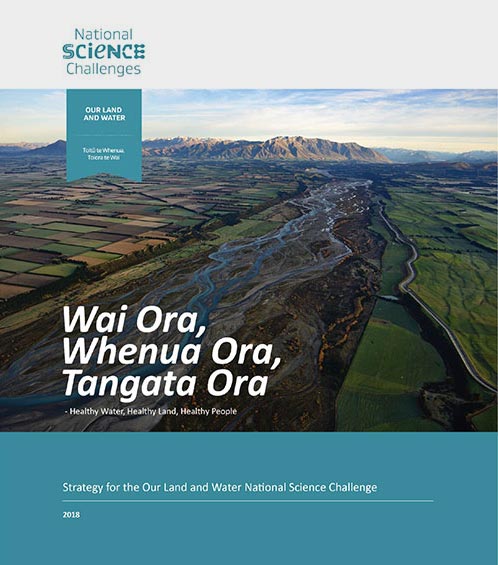
 View Our Strategy Document 2019 – 2024
November 02, 2023
Resources for
Regional Authorities
Paul Sutherland
People in local government can help farms operate in ways that ensure the health of our land and water. Our resources can help you increase your local community’s understanding of the drivers for regulation, undertake effective collaboration, and improve decision-making in catchments.
Showing 1 - 12 of 190 results

Retiring Farmland into Ngahere
Restoring Aotearoa together: Triple the area, at one-third the cost
This project has produced

Land-Use Scenarios for Nikau Farm
What land uses would provide long-term sustainability for the Nikau whānau and the Taiao in their rohe?

Future Scenarios for Arable Agriculture
Modelling pathways to sustainability, resilience and profitability in arable agriculture
This project has produced

Land Use Suitability
Land use suitability tools and assessment processes for increasing land use diversity and delivering better community outcomes.

Sources and Flows
Managing contaminant pathways and attenuation to create headroom for productive land use.

Physiographic Environments of New Zealand
Integrating landscape process knowledge with water chemistry to understand how and why surface water quality varies across New Zealand

Benign Denitrification in Groundwaters
Developing a cost-effective technique to assess denitrification processes and end products in shallow groundwaters

Faecal Source Tracking
Identifying the sources of faecal contamination in waterways, and identifying naturalised Escherichia coli to help establish water quality for swimming

Cascade of Soil Erosion
Developing sediment models to enable land managers, water users, communities and iwi to set sediment-related water quality targets

Land Use Opportunities
Developing a holistic decision-making framework for evaluating land use opportunities.

Pohewa Pae Tawhiti
Supporting land-use change decisions that are consistent with landowner long-range visions and priorities, through an integrated framework that incorporates tools, models and innovative guidelines and…

Monitoring Freshwater Improvement Actions
Monitoring the effectiveness of interventions and mitigation actions on freshwater improvement
This project has produced